


Garmin Navionics+ U.S. & Coastal Canada Marine Charts Download
SKU: 010-D1889-20
$149.99Price
Excluding Sales Tax |
Navigate with confidence using Garmin Navionics+ cartography, featuring vibrant colors and a streamlined interface for your chartplotter. This all-in-one map solution combines detailed coastal, lake, and river content to help you plan your perfect day on the water. Enjoy Auto Guidance+ technology for suggested dock-to-dock routing and customize your view with high-resolution depth range shading. Stay current with a one-year subscription to daily updates via the ActiveCaptain app. Whether you are fishing in shallow waters or cruising coastal channels, these maps provide the clarity and detail you need to explore with ease.Brand: Garmin
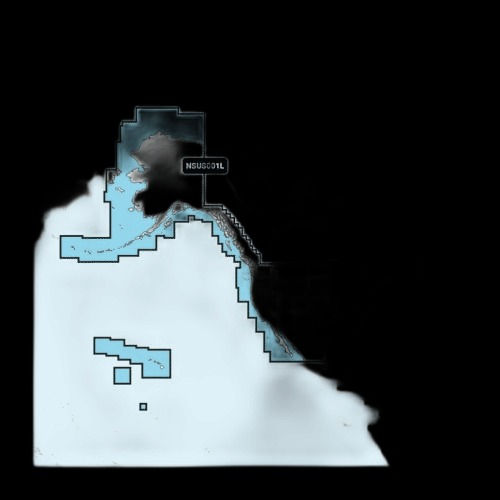
Coverage Area: U.S. & Coastal Canada
Compatibility: Select Garmin Chartplotters
Format: Download
Subscription Included: 1-Year
Key Features: Auto Guidance+, Depth Range Shading, Daily Updates